|
Khatyrka (river)
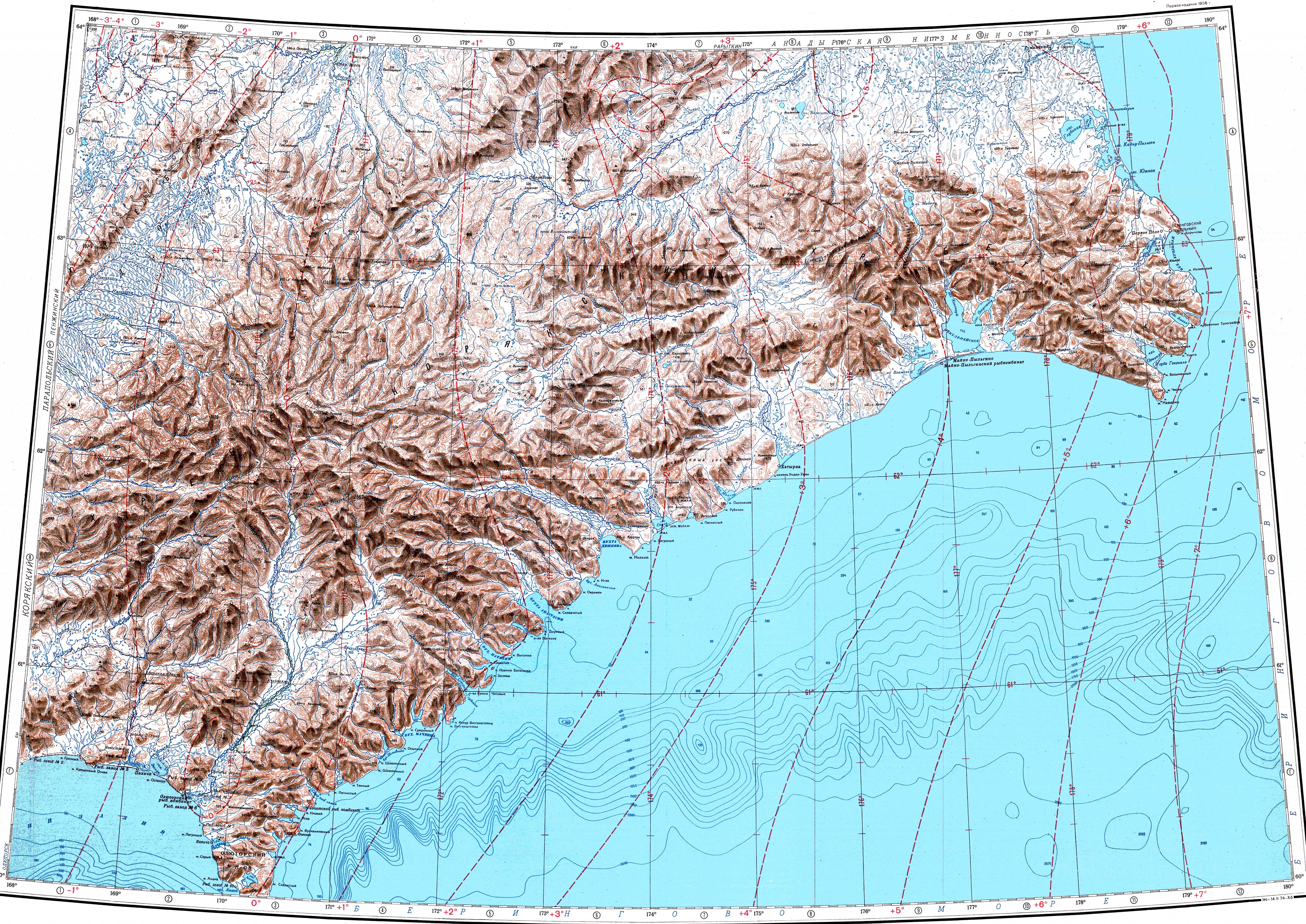
The Khatyrka (Russian: Хатырка; Chukot: Ватыркан) is a river in Chukotka Autonomous Okrug, Russia. The length of the river is 367 kilometres (228 mi) and the area of is drainage basin 13,400 square kilometres (5,200 sq mi).[1] The name of the river comes from the Chukot "vatyrkan" (Ватыркан), meaning "dry, depleted place".[2] CourseThe Khatyrka has its source in the Koryak Highlands. It first flows in an ENE direction along the northern slopes of the Komeutyuyam Range as a mountain river within a narrow valley. It bends to the SSE at the northeastern end of the range and the valley expands, the river dividing into channels. In its lower course it flows along a marshy floodplain.[3][4] A stretch of the river forms the border with the Olyutorsky District of Kamchatka Krai. Its mouth is in an estuary that is separated by a narrow landspit from the Bering Sea. Khatyrka village lies at the mouth of the estuary.[5][6] TributariesThe main tributary of the Khatyrka is the 103 km (64 mi) long Iomrautvaam (Иомраутваам), joining it from the right.[1] A unique-type of meteorite[7] fell in the area of the Iomrautvaam river basin and was buried in a 7,000-year-old layer of dirt. It was found during an expedition to Chukotka in the summer of 2011.[8]
Flora and faunaThe river basin is characterized by tundra vegetation, including mosses, lichens, dwarf shrubs, and sedges.[9] The inhabitants of the area are engaged in reindeer herding. River Khatyrka is a good place for fishing. Among the fish species found in the waters of the river the pink salmon, chum salmon, sockeye salmon and Chinook salmon deserve mention.[6] See alsoReferences
External links
|
|||||||||||||||||||||||||||||||||||||||


